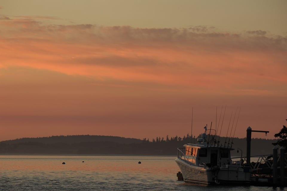
So what IS up with all of those islands? So many of them off the coast of Washington State (I’m talking about you, Puget Sound) and even more off the coast of British Columbia. Not to mention, the granddaddy of them all, Vancouver Island.
As an explorer, I get frustrated with this. There are so many that some are uninhabited, and some don’t even get visitors. That’s crazy! And like the over-privileged glutton I am, I feel like everything should be accessible to me. But news flash kids, that’s not how the world works. Sometimes mother nature doesn’t want you tramping your grubby paws all over her.
And I have to respect that.
So I’m forced to consider why these islands came to be. How did they get formed? For starters, let’s hone in on the San Juan Islands north of Puget Sound. The San Juan’s are comprised of roughly 170 named islands. Even more are exposed at high tide. With respect to geology, these islands are considerably older than the mainland and were actually originally part of an ancient continent that has long since become one with the ocean.
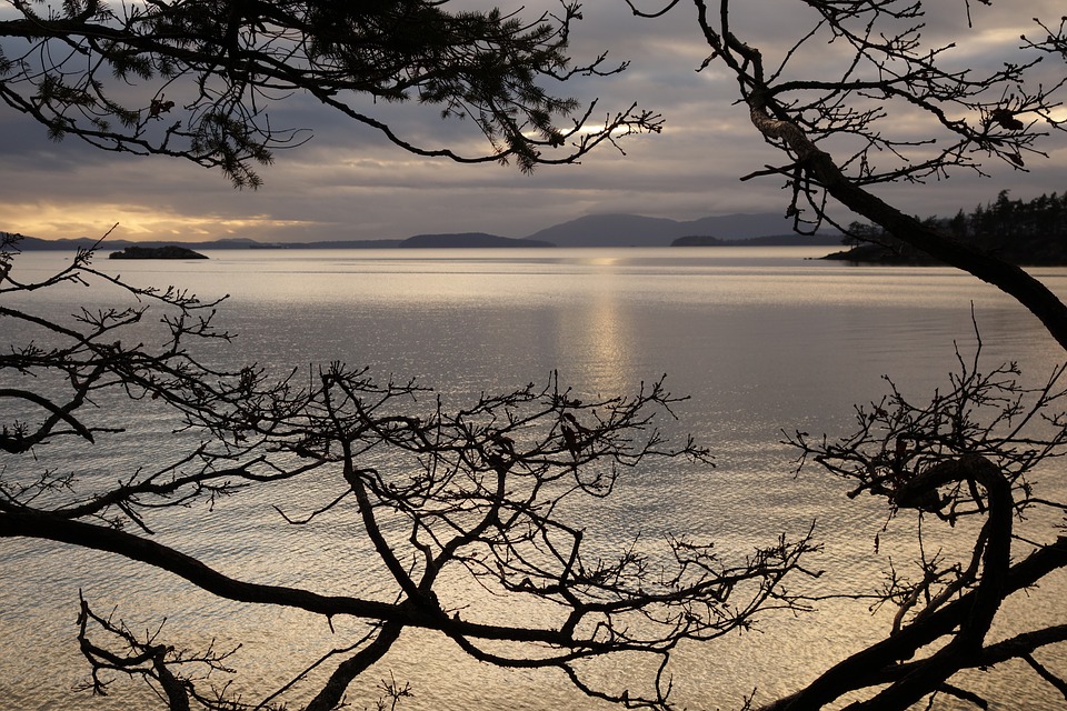
Millions of years ago, thanks to tectonic shifts, the island came to their current location. Through the last several ice ages, four hefty waterways carved themselves a piece of the action, and surround these islands. There is the Haro Strait, Rosario Strait, the Strait of Georgia and the Strait of Juan de Fuca.
Put together these allow for quite of bit of water flow to flush out the relatively narrow passages between the islands and attract nutrient-rich waters, which support a lushly diverse marine environment.
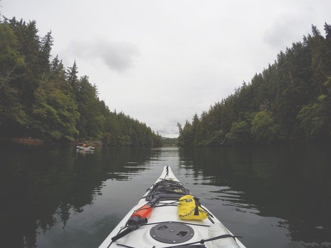
The enchanting beauty of these islands makes kayaking a dream, and one of the most spectacular places for sea kayaking. Ten of the islands are state marine parks, with a few only accessible by kayak. So get that wetsuit on. Several islands are accessed only by private boat or water taxi. Surrounded by dramatic coastlines with a pleasant climate and varied wildlife, not to mention breathtaking views, the San Juan Islands are a diver’s paradise.
And Now Vancouver and Her Large Brood of Islands
You can pretty well take San Juan Islands’ story and expand on it a little. Or a lot since there are too many islands off the coast of British Columbia to count. Spanning hundreds of millions of years and a shit-ton of geological activity, these islands were formed through a sultry cocktail of processes. Tectonic plate movement, erosion, volcanism (is that even a word?) and glaciation all play a role.
In fact, much of the rock that makes up Vancouver Island originated from the equator, in the Pacific Ocean. Shut the front door! But it’s true. Some 380 million years ago, the island used to be undersea lava deposits. As time wore on, the calcium shells of untold numbers of marine animals added layers that became limestone. As the mass slowly made its way northeastward, about 100 million years ago, this land mass collided North America. Yes, indeed.
With forces that were slow yet tremendous, it caused this region to buckle and fold into the Cascade Mountain range, while other sections crumbled into obscurity. Along the way, islands were formed. Quite a lot of them. The region that the city of Victoria is built upon is made up of granite and gneiss, or metamorphic rock. It was exposed during the erosion and uplift when the Pacific Rim and Crescent terranes collided. Pretty cool.

The Most Recent Ice Age
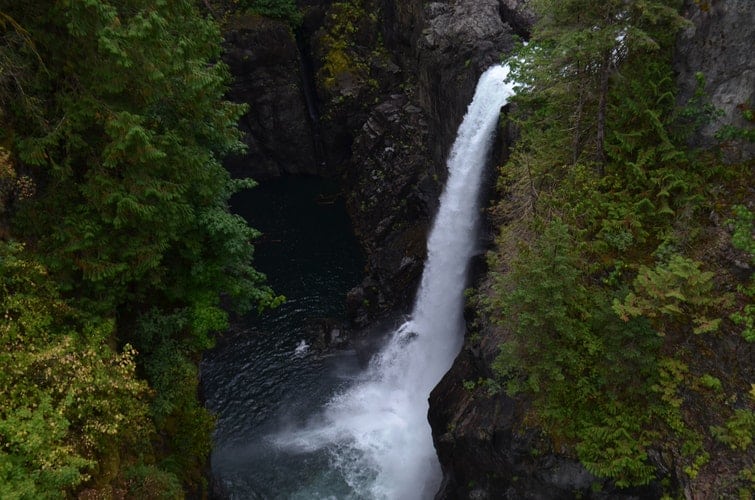
Between 15 and 20,000 years ago, the most recent ice age took place and accumulated on the mountain tops of Vancouver Island, slowly growing into gargantuan glaciers. They melded with other glaciers to form massive ice sheets that, upon melting, carved out Cowichan Valley, formed the steep-sided fjords and filled the straits we know and love today. Evidence of the direction of flow of the ice sheets can be seen in rocks around Victoria, B.C.
Believe it or not, the area is still evolving. Hey, aren’t we all? Though some vehemently dispute it, there will someday be another ice age (whether we are still here or not) to further carve out this incredible piece of the planet we call the Pacific Northwest.