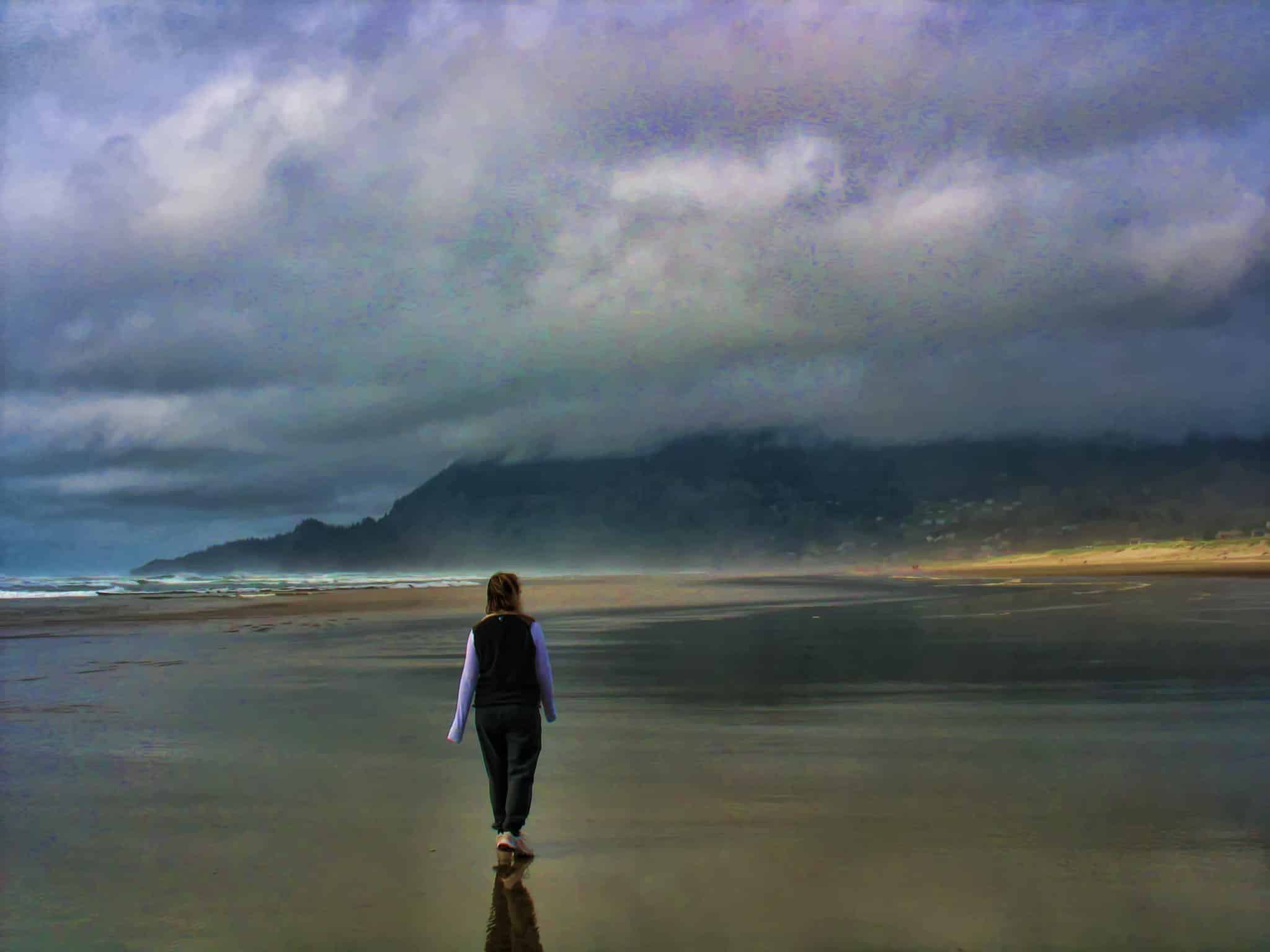
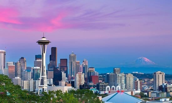
One of the things I really love about northwest Washington state is that there are a multitude of attractions within a very small geographic area. The best of several worlds collide in that you get to experience the culture of a large metropolitan area (Seattle), as well as mountains, rainforests, islands and ocean. All of which offer unparalleled natural beauty.
A Flurry of Islands
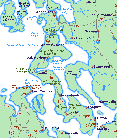
Skagit Valley is nestled between Seattle and Vancouver, B.C. The I-5 corridor runs through it, making it easily accessible from the north or south. Take Highway 20 west from I-5 to Anacortes, WA and the whole of the San Juan Islands await you. Anacortes is the main ferry point to all 4 of the major islands (San Juan, Lopez, Orcas and Shaw Islands), where you can load your car right onto the ferry to get where you’re going. The town of Anacortes is actually itself located on Fidalgo Island, a large island situated very close to mainland Washington State, separated only by Swinomish Channel running from Padilla Bay to Skagit Bay.
If this seems confusing, you’re not alone! Northwest Washington off of the mainland and approaching British Columbia is a confusing and intricate web of islands, inlets, and bays which all lead to the Pacific Ocean.
The San Juan Islands north of Puget Sound are a destination unto themselves. But that is for another blog post! And much has been written about Skagit Valley’s big claim to fame: the annual Spring Tulip Festival. Washington State produces so many tulip bulbs that many are actually shipped for sale to Holland, the supposed tulip capital of the world! While April is a great time to visit the area, Skagit Valley is truly a year-round destination.
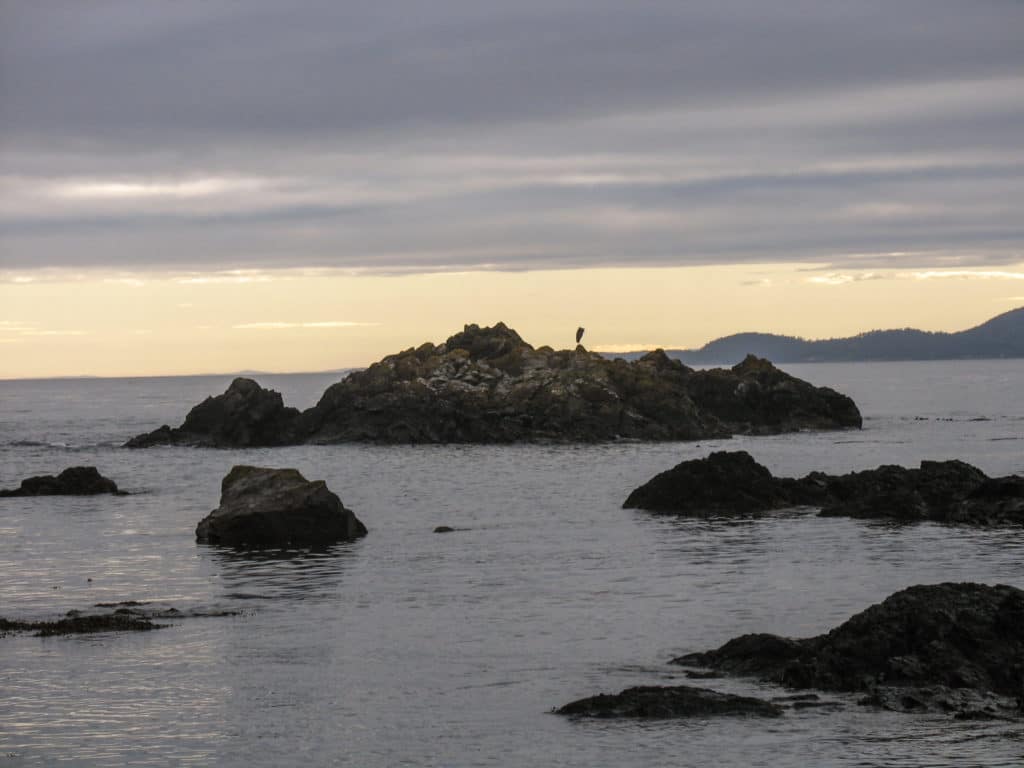
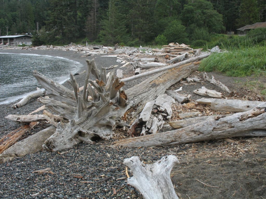
Our trip this time around is to Deception Pass and the northern Olympic National Park. Take Highway 20 south from Anacortes to the southern tip of Fidalgo Island. Exit off the highway to Rosario Rd. and you arrive at Rosario Beach.
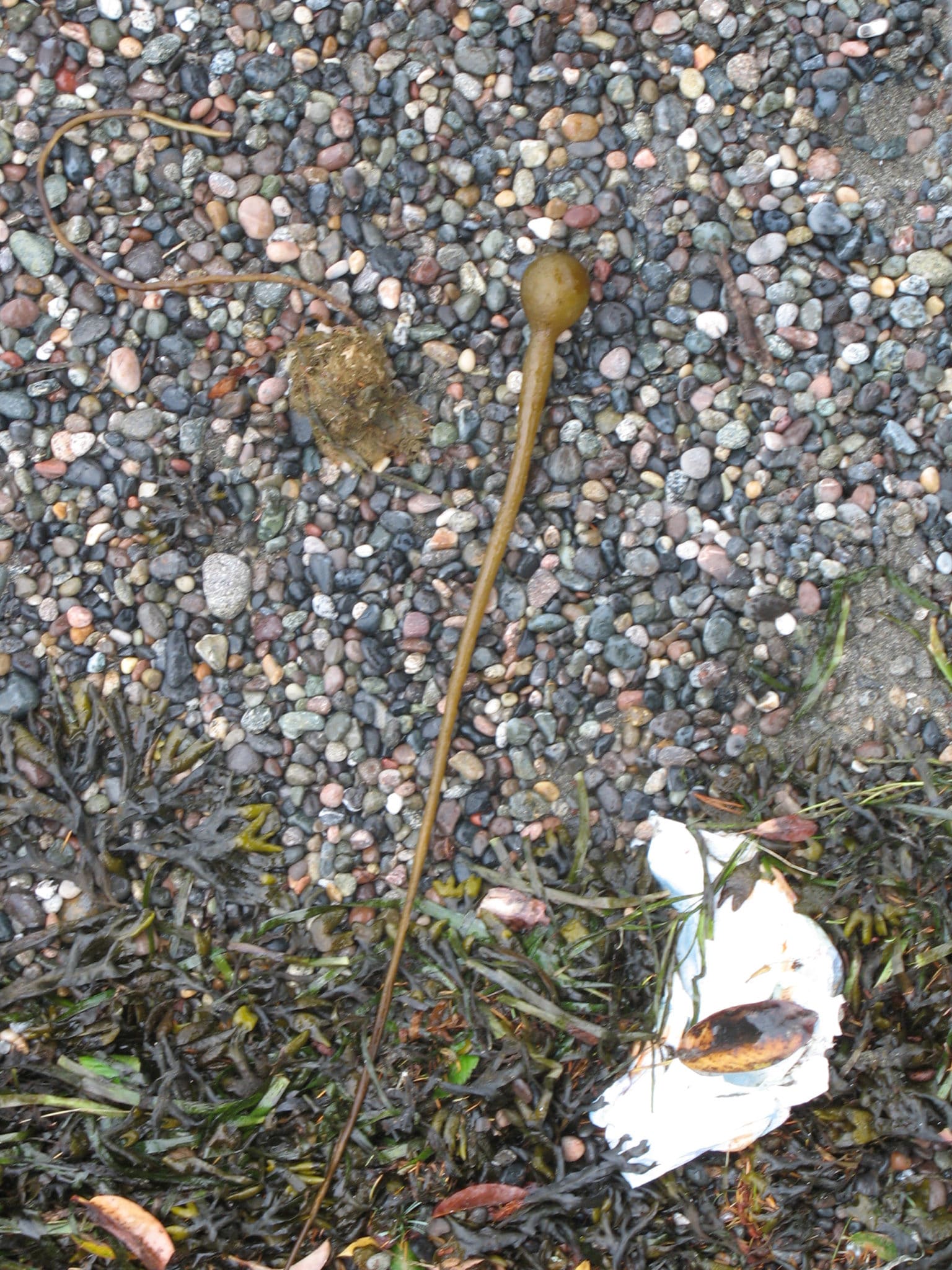
An Easy Hike
Get back on Highway 20 and continue south a little for a bit. Follow the signs to Lighthouse Point. Take the Lighthouse Point Loop hiking trail (the name is deceiving, there’s no actual lighthouse here). This is an easy 1.5-mile hike with some awesome views of the Strait of Juan de Fuca. At the southernmost part of the trail, look to your left and you’ll see a stunning bridge. Deception Pass bridge. After hiking the loop, you’ll be crossing this bridge to your next destination.
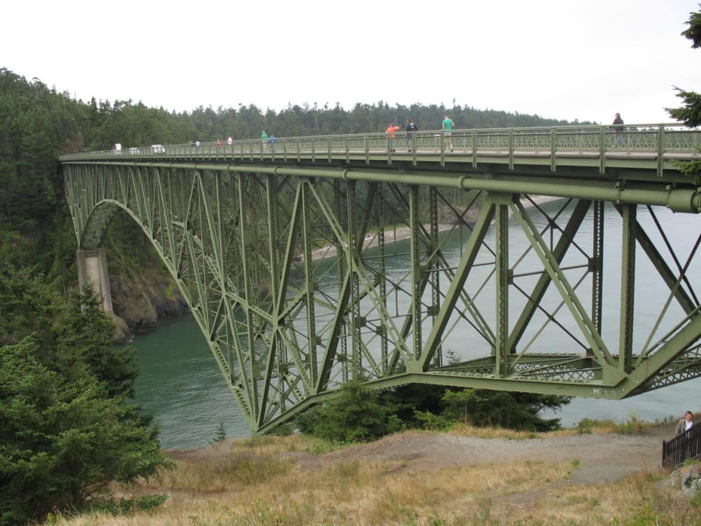
Deception Pass Bridge
This bridge, built in the early 1930’s during the depression, cost A LOT of money, and a few lives. The only way it got built was a concerted effort by the government, telling the local population that is was “for the war effort.” Learn more about it here. Before the bridge, in the 1910’s there was a convict camp rock quarry. Today it is a popular recreational destination.
Deception Pass State Park
Once you’ve crossed Deception Pass Bridge, you are on another island! Whidbey Island, to be exact. Continue south on the 20 to reach Deception Pass State Park. It is Washington’s most visited state park, with camping, boating and fishing opportunities.
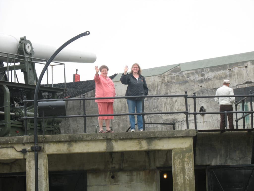
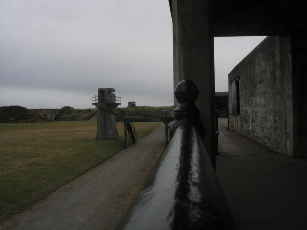
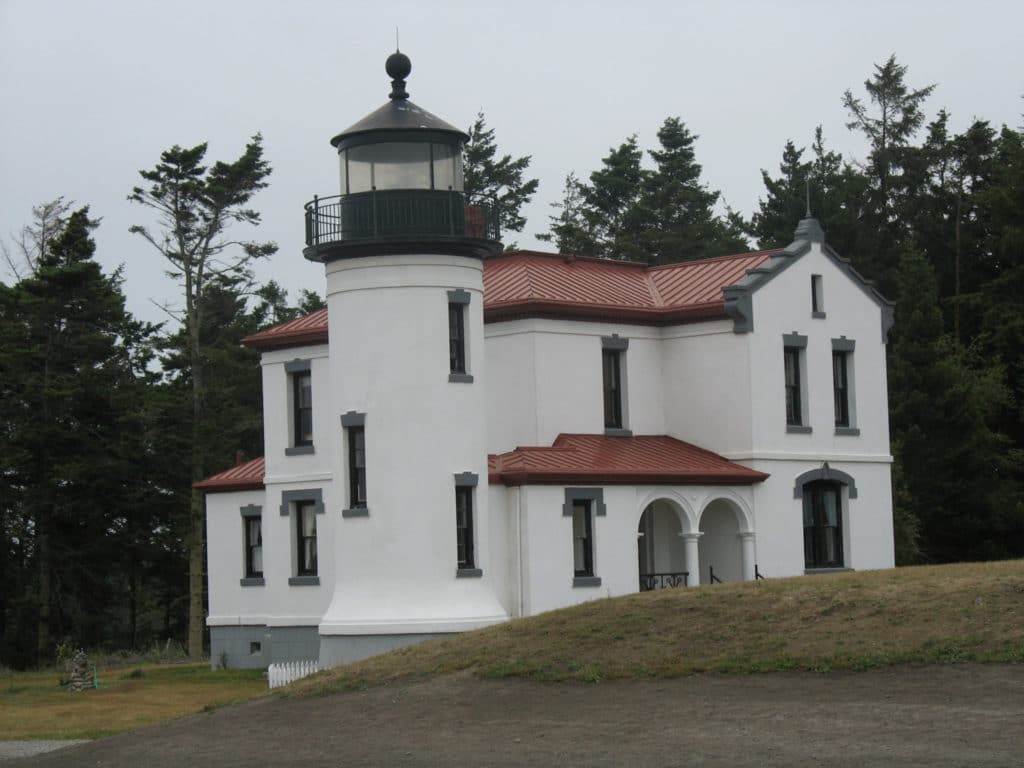
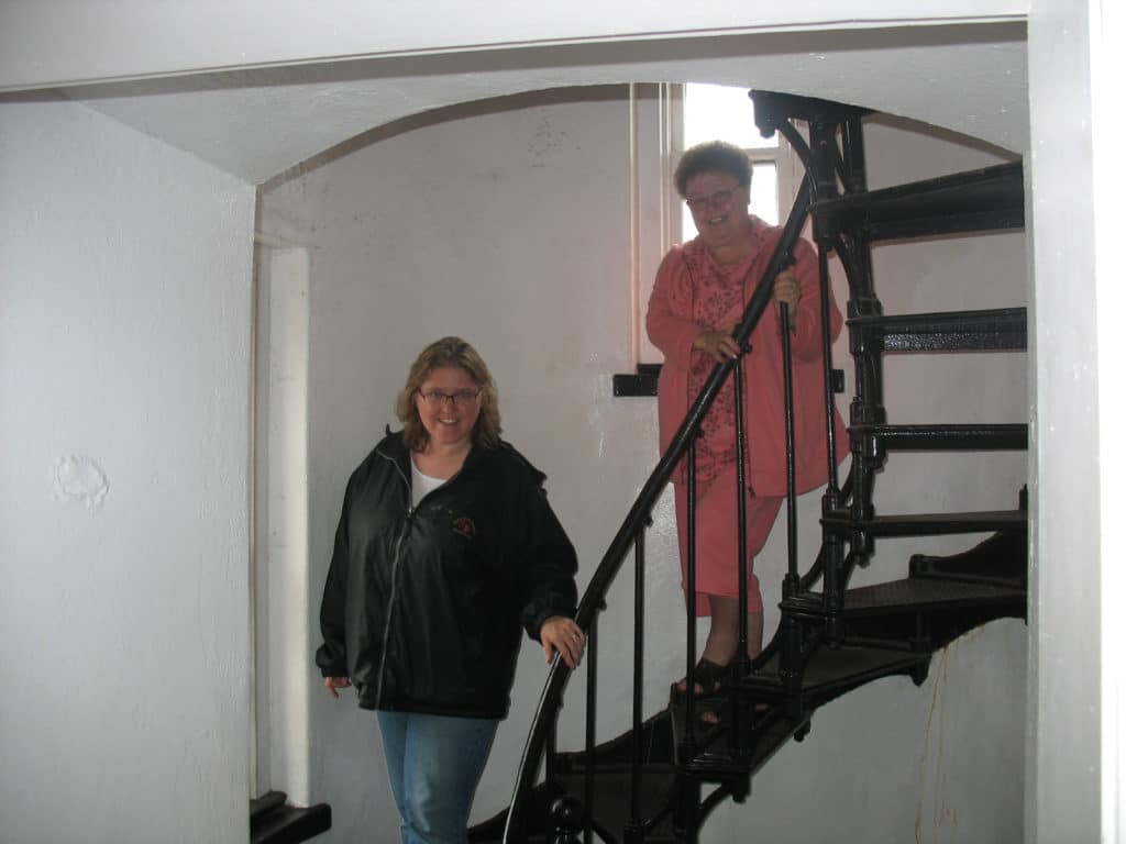
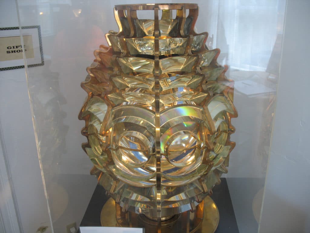
Fort Casey
About a ½ hour’s drive south of the state park is Fort Casey.
On to the Olympic Peninsula
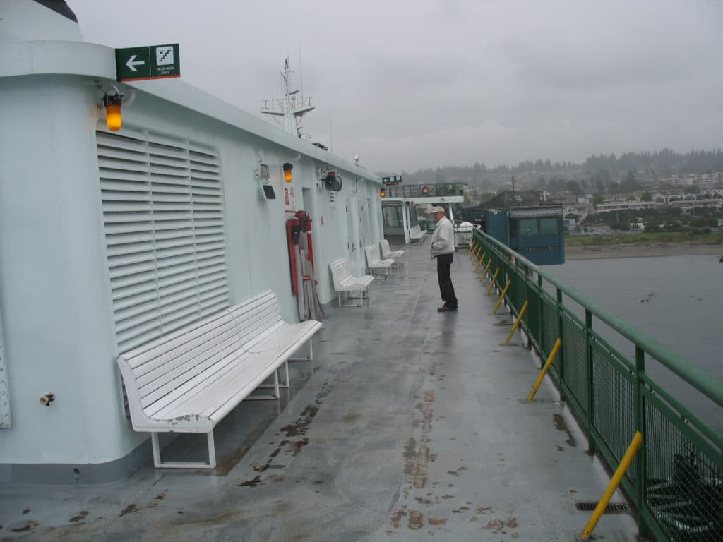
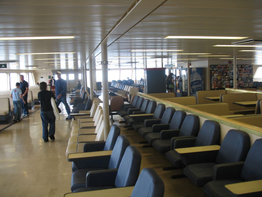
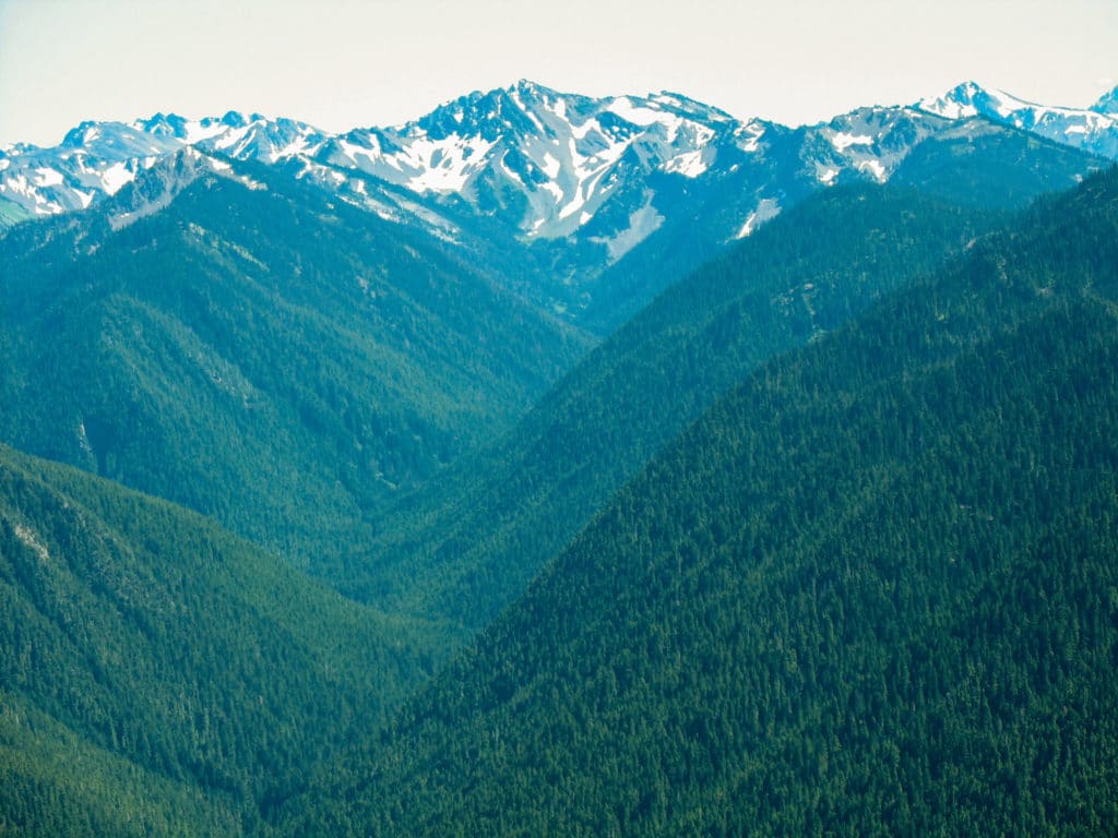
From Fort Casey, you can take a ferry to Port Townsend, and be on your merry way to the great Olympic Peninsula and Olympic National Park! As your car disembarks from the ferry, continue heading south on good ol’ highway 20 until it joins with the infamous highway 101 west. Follow the signs to the Hurricane Ridge Visitor’s Center. It’s about an hour ½ drive from Port Townsend to the Visitor’s Center.
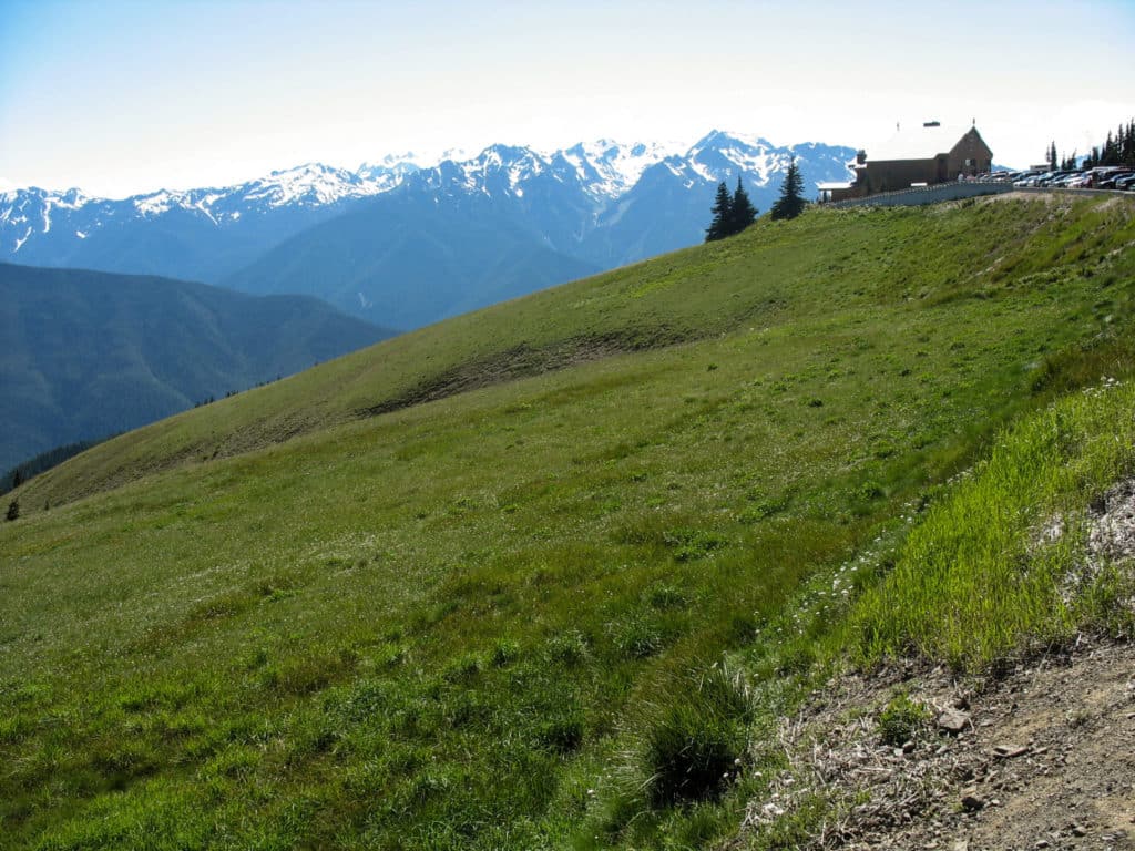
Hurricane Ridge Visitor’s Center
The road to Hurricane Ridge is one of the few places in Washington that may be closed to visitors during the winter, mostly due to the high elevation and treacherous conditions. From mid-December through March, the road is only open to visitors on weekends, and then only if weather and road conditions are favorable.
To really explore and savor this magnificent land, plan on staying at least 2-3 days. Heart O’ the Hills campground for camping/RV’s or stay at a hotel in nearby Port Angeles. Incidentally, you can take a ferry from Port Angeles to Victoria, B.C. Just be sure to bring your passport!
I’ve covered a lot of ground in one blog post, but I also glossed over some things. Like I said in the beginning, there’s just SO MUCH to do in this area!
If you feel like I’ve missed something important on this gorgeous stretch of road in Washington State, please leave a comment below. Thank You!
")